

![]()
Alpine, Lakes & Rivers - Marine Charts (NPEU066R)
Alpine, Lakes & Rivers - Marine Charts (NPEU066R)
Low stock – Give us a call to check availability.
SKU:GM-010-C1340-30
Couldn't load pickup availability

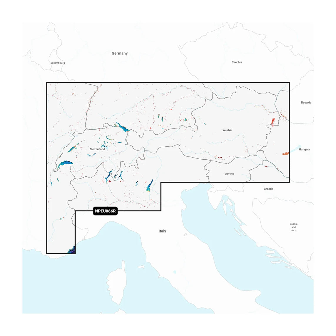
Covers the lakes and rivers of the Alpine region of Europe. Coastal coverage includes Lakes Constance (Upper, Lower and Seerhein), Zurich, Lucerne, Geneva, Thun, Brienz, Annecy, Bourget, d'Aiguebelette, Lake of Sainte-Croix, Neuchatel, Maggiore, Orta, Como, Iseo, Lugano, Garda, Biel and Neusiedl/Ferto. Rivers include the Rhine from its headwaters to Germersheim, the Danube from its headwaters to Bratislava, the Necklar from its headwaters to Offenau and the Main-Danube Canal from Hilpoltein to the Danube. Other rivers include the Isar, the Inn, the Salzach and the Lech in their entireties.
Your purchase includes charts, maps and any content downloaded during the one-year subscription period. An active subscription is required to continue accessing new content such as daily updates after the included one-year ends.
Navionics+ and Navionics Platinum+ cards are not compatible with Garmin chartplotters. Check compatibility. If you own a Garmin chartplotter, you’ll want our Garmin Navionics+™ charts.

GIVE THE GIFT OF THE BASS TANK
Don’t know what to get the fishing nut in your life? No worries. Load up The Bass Tank gift card and give your angler the gift of catching.