

![]()
Norway - Marine Charts (NPEU649L)
Norway - Marine Charts (NPEU649L)
Low stock – Give us a call to check availability.
SKU:GM-010-C1355-30
Couldn't load pickup availability

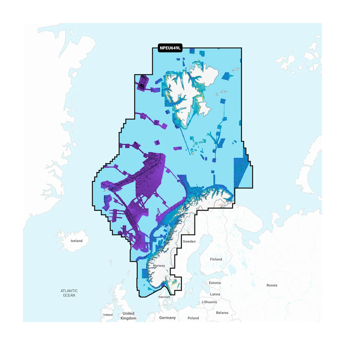
Detailed coverage of the entire coast of Norway and parts of Sweden. Coverage includes the Oslofjord; the Sognefjord; the Vestfjorden; Jan Mayen Island; Svalbard; Lakes Mjøsa, Bandak, Kviteseidvatnet, Flåvatn and Norsjø and the Telemark Canal in Norway; Lakes Vänern and Vättern and the Trollhätte and Göta Canals in Sweden. Ports include Gothenburg in Sweden and Kristiansand, Stavanger, Bergen, Trondheim, Tromsø and Narvik in Norway.
Note: Some chartplotters cannot display chart details for latitudes above 79° N. Please check with the chartplotter manufacturer to confirm whether your model is capable of displaying charts above this latitude.
Your purchase includes charts, maps and any content downloaded during the one-year subscription period. An active subscription is required to continue accessing new content such as daily updates after the included one-year ends.
Navionics+ and Navionics Platinum+ cards are not compatible with Garmin chartplotters. Check compatibility. If you own a Garmin chartplotter, you’ll want our Garmin Navionics+™ charts.

GIVE THE GIFT OF THE BASS TANK
Don’t know what to get the fishing nut in your life? No worries. Load up The Bass Tank gift card and give your angler the gift of catching.